
Wednesday …
The day of the blog post.
It is 15 PM and the article must be online before 17 PM.
Anxiety is rising because at this precise moment... I don't have that item!
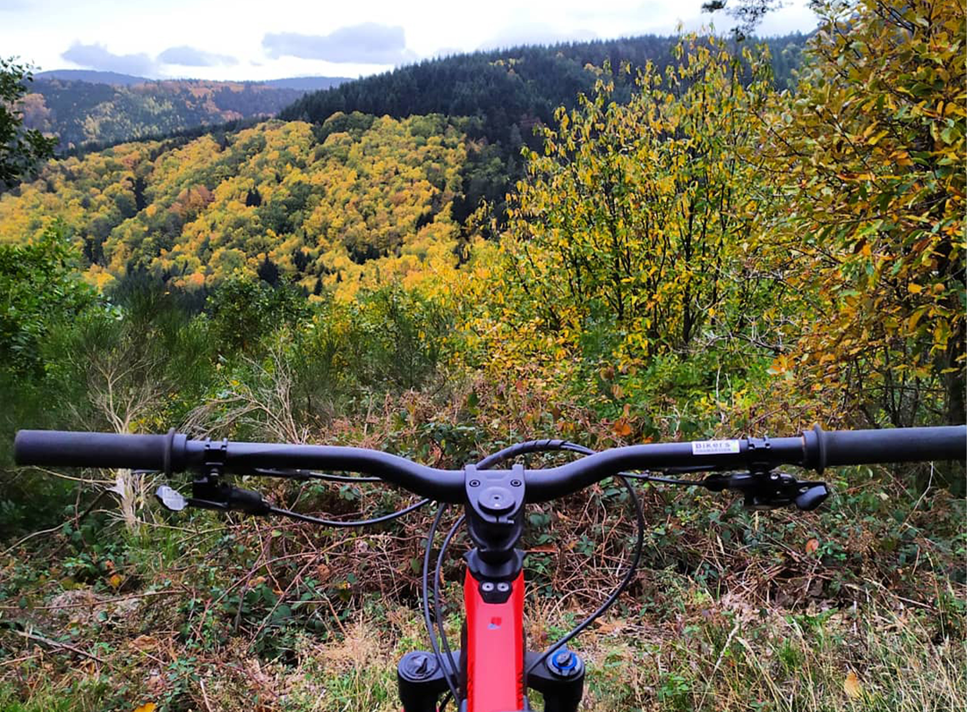
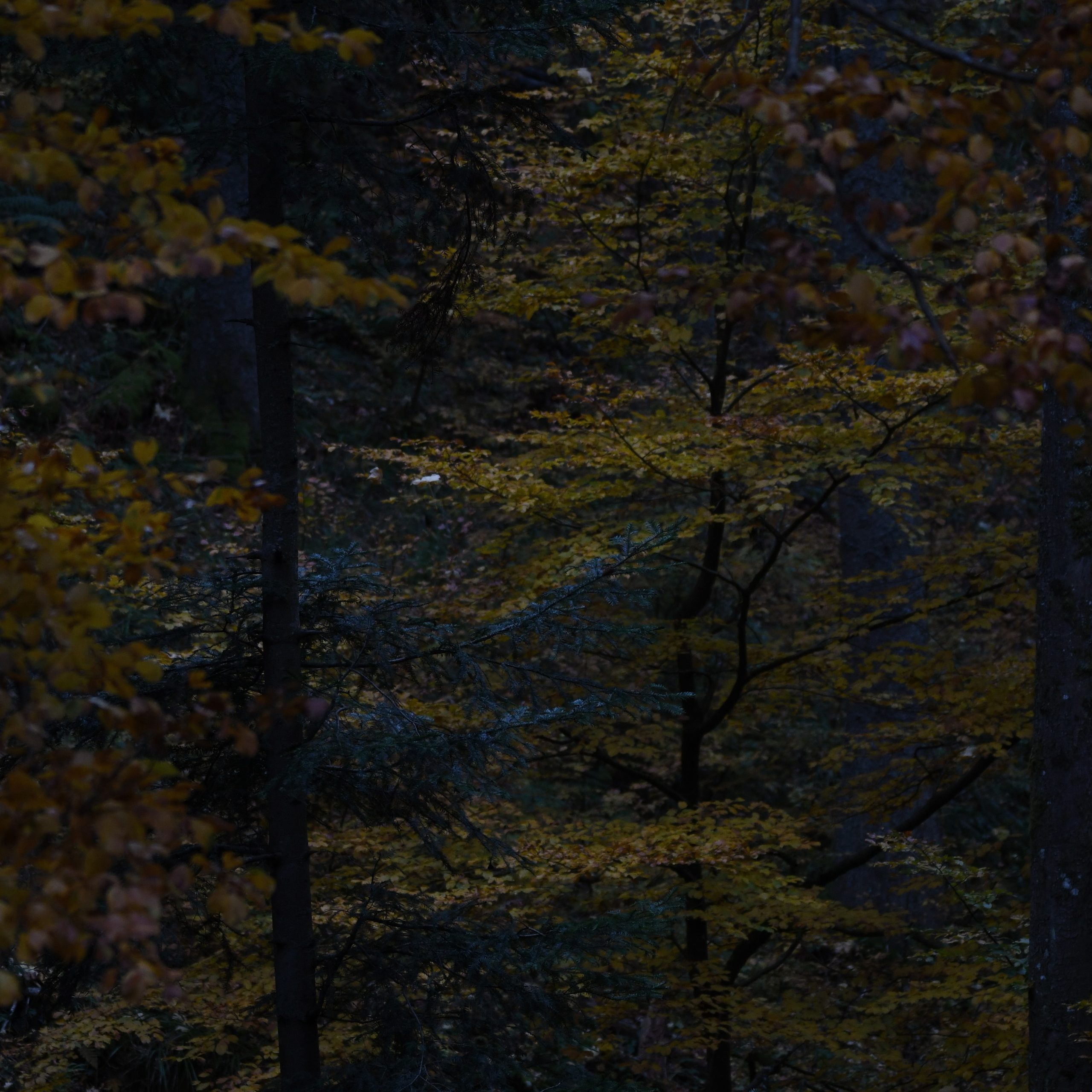
And then I think back to my mountain bike ride during my lunch break. Sure, the forest is damp, but the autumn colours are exploding and it's so beautiful!
So here we go, I'm launching into this first part of a descriptive article about our mountain bike trails.
The first will be that of the Sources.
It starts in Steige, rue Haute and takes us through Blanc Noyer, La Grande Basse, Le Climont and Grand Sapin before returning to our starting point.
Like all mountain bike trails in the valley, it is designed so as not to present any technical difficulties and therefore to allow the greatest number of riders to discover it.
In a few figures, this circuit can be summarized as follows:
- 18,36 km
- 519 meters of Elevation Gain
- Highest point: 698 meters (Le Climont)
- Lowest point: 391 (the starting point of this walk)
- 2.5 to 3 hours: estimated time to complete. (If you're faster, well done! If you take longer, well done... you'll have enjoyed the autumn colors for longer!)
https://www.tourisme-valdeville.fr/fr/bouger/cyclotourisme/224002653
This route (like all the others) is marked with signs specifically for mountain bike trails. These signs are white with a printed triangle and two yellow circles. Depending on its direction, it indicates whether to turn right, left, or go straight ahead.
All the signs on our circuits are marked with the logo of the Villé Valley.
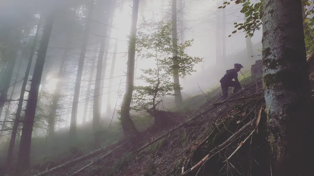
Hop, let's go!
When I do this route, I park at the end of Rue Haute, which connects with the start of Chemin du Derillo. There's space to park on the left without blocking anyone.
The walk begins along several ponds where you can observe carp on the surface when the weather is nice and warm. I've even been lucky enough to spot a kingfisher there.
The climb begins immediately after the ponds.
It's true, I admit, it makes your legs tingle a bit, especially at the beginning of the walk. But the forest is beautiful, and the fir trees blend with the golden and orange hues of the deciduous trees.
Following this forest path, I quickly arrive at the Blanc Noyer viewpoint. I have covered 4.5 km.
I head back towards the Blanc Noyer housing estate. The connection between these two points is via a paved road where you might encounter local residents in their cars.
Be careful !
I love walking through this housing estate. The people who live here are incredibly lucky to be surrounded by this natural haven every day. Very often, whether I'm cycling or running, I come across deer and wild boar near this area.
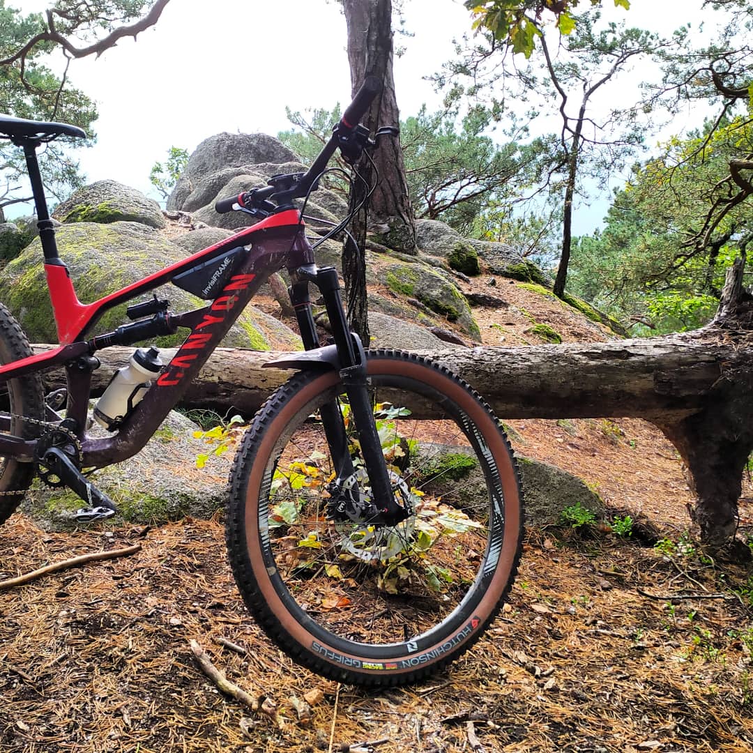
I'm exactly 6km in when I leave Blanc Noyer.
Head towards Rancinière and Grande Basse where the climb will prove to be a bit tough between the two places.
Then the rest of the circuit is either downhill or on a false flat uphill.
I really enjoy passing by the Grande Basse. In summer there are smells that remind me of the south of France.
If you have time, at kilometer 10,18 you can turn left and follow the signs for Bilstein Castle (yellow easel markers). The view from the castle is really (really, really, really... really) worth the detour!
At the twelfth km, I cross the D214 and find myself at the foot of the Climont and between the farm inn of the Cimes and the village of Climont.
I like the products from the farm inn and I love the view from the exit of the village when heading towards Urbeis.
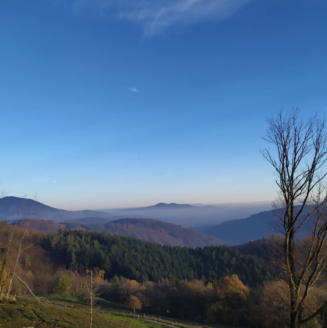
But today I'm going back in the other direction, following the yellow cross markers and the direction of Steige.
As I like to do, I invite you to take a few moments to admire the view from the beginning of this path which overlooks a huge meadow in which there is an old smokehouse.
I set off again following the yellow cross, still going downhill towards Steige.
On this path we pass in front of the shelter that the Steigeois call the Cabane de la Halle and the Mont.
The place is quiet and the Giessen river flows just below the path.
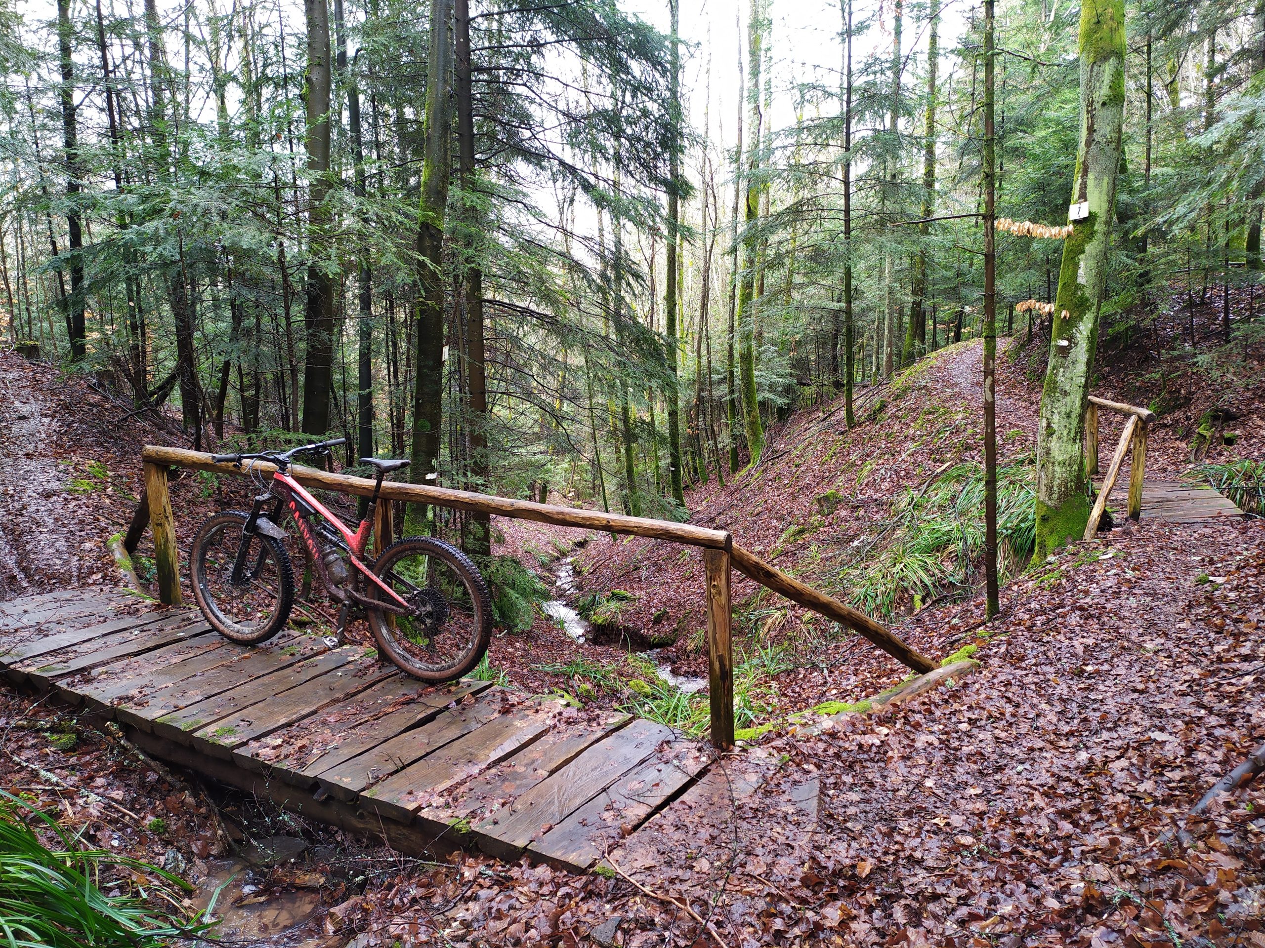
I only have 3km left to descend on a wide path (be careful, it's wide but it goes by quickly... very quickly) to get back to the path of the ponds and the Rue Haute.
The next route will be the Mines route. It can be joined with the Sources route to allow for a longer loop.
The article will most likely be accompanied by a short video to show you the little curiosities of the route and hopefully inspire you to take out your mountain bike despite the autumnal dampness!
See you soon on a bike along one of the mountain bike trails… in the Villé Valley